 By

Long-distance road trips across the United States remain the purest celebration of open-road travel, connecting snow-capped alpine summits, ancient redwood forests, and vast desert basins. Across active travel forums like r/roadtrip, experienced highway travelers consistently urge motorists away from monotone interstates in favor of scenic byways that reveal America's true geographic diversity.
With road trippers prioritizing genuine cultural milestones, scenic integrity, and crowd-free corridors, community-tested wisdom offers the most reliable roadmap. Synthesizing consensus from thousands of seasoned Reddit road trippers, here are the 10 best long-distance US road trips to conquer in 2026, complete with tactical planning insights, scenic waypoints, and vital highway precautions.
1. US Route 395: California's Eastern Sierra Mountain Spine
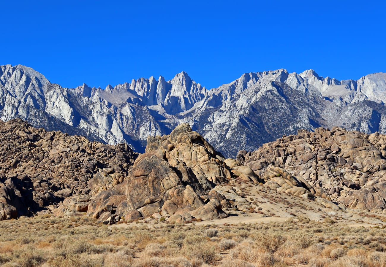 US Route 395 framed by the Alabama Hills and snow-dusted Sierra Nevada peaks
Running along the dramatic eastern flank of the Sierra Nevada, US Route 395 is heralded on r/roadtrip as California’s most rewarding driving corridor. The 550-mile route completely bypasses the congested Central Valley and Interstate 5, guiding motorists beneath the towering 14,505-foot summit of Mount Whitney and the sculpted granite formations of the Alabama Hills.
Key waypoints along the corridor include the poignant Manzanar National Historic Site, artisanal bakeries in Bishop, and natural geothermal soaking tubs near Bridgeport. Further north, the highway skirts the turquoise expanse of Mono Lake and climbs past Mammoth Lakes before terminating near Lake Tahoe.
Redditors recommend allotting at least three to four days for this drive. In shoulder seasons, verify mountain pass conditions through the California Department of Transportation before attempting scenic detours over Tioga Pass into Yosemite.
2. US Route 20: The Transcontinental Coast-to-Coast Odyssey
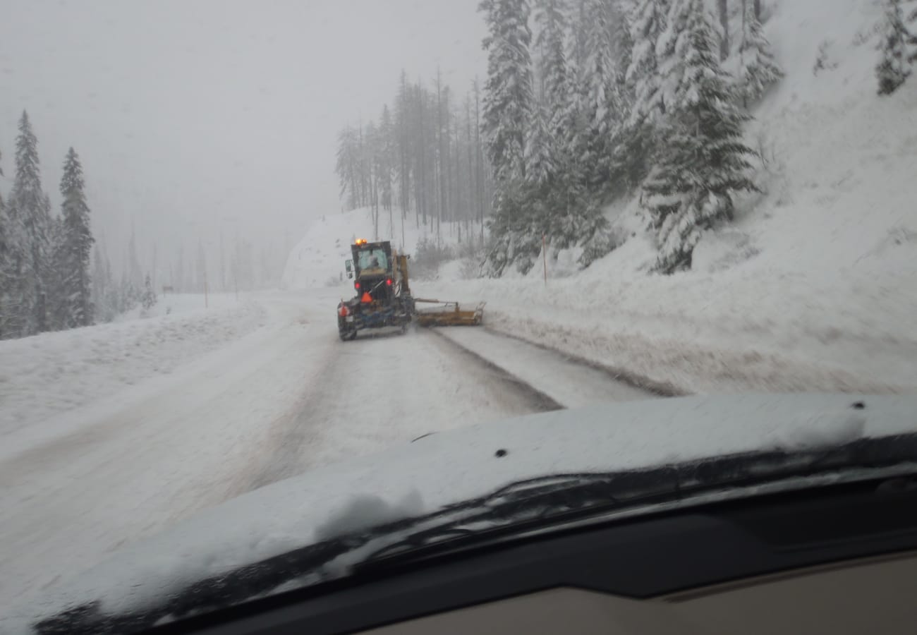 The open highway of US Route 20 traversing the Oregon high country
Spanning 3,365 miles from Newport, Oregon, all the way to Boston, Massachusetts, US Route 20 is the single longest highway in the United States. Road trippers seeking an authentic coast-to-coast crossing favor this two-lane route over high-speed, soul-crushing interstate corridors.
The highway climbs the volcanic Cascade Range in Oregon, traverses southern Idaho's lava plains, and cuts directly across the heart of Yellowstone National Park. Heading east across the Great Plains, drivers experience Nebraska's vast Sandhills, pastoral Iowa agricultural communities, and the historic Erie Canal towns of upstate New York.
Reddit drivers strongly emphasize traveling West to East during mid-summer. This sequencing ensures high Rocky Mountain passes are completely snow-free and guarantees optimal weather across small-town America.
3. Utah Scenic Byway 12 and the Grand Circle Loop
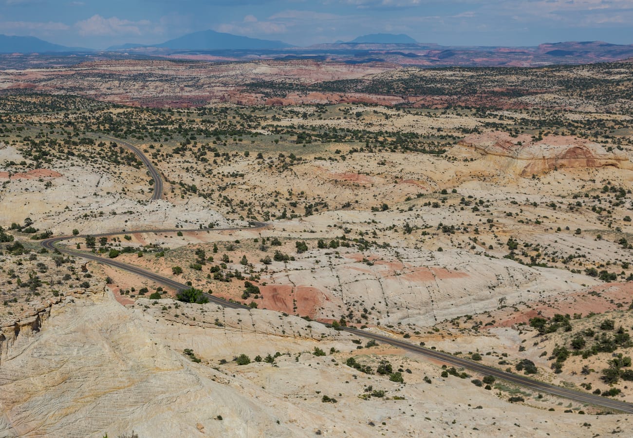 Utah Scenic Byway 12 winding across the slickrock terrain of Grand Staircase-Escalante
Utah’s Scenic Byway 12 spans 124 miles between Bryce Canyon and Capitol Reef National Parks, serving as the breathtaking centerpiece of the 900-mile Grand Circle tour. The drive cuts through some of the most intricate and exposed slickrock sandstone on Earth.
The route's most exhilarating stretch is The Hogback—a narrow paved roadway constructed along a razor-thin rock ridge with sheer thousand-foot drop-offs falling away on both sides. Drivers also gain access to remote slot canyons within Grand Staircase-Escalante National Monument and alpine aspen groves atop 9,000-foot Boulder Mountain.
Community members on r/roadtrip suggest budgeting seven to ten days for the complete five-park circuit. Crucially, always download offline GPS maps before departing Panguitch or Torrey, as cellular connectivity vanishes across southern Utah's backcountry canyons.
4. Historic Route 66: The Mother Road's Centennial
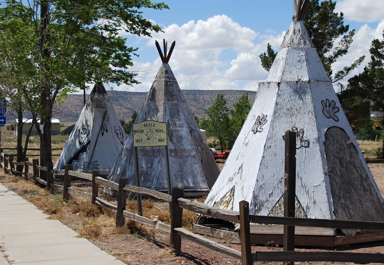 Historic Route 66 preserving the nostalgic neon spirit of the Mother Road in Seligman, Arizona
Connecting Chicago to Santa Monica across 2,448 miles, Route 66 celebrates its historic 100th anniversary (1926–2026) with revitalized roadside diners, neon restorations, and heritage festivals spanning eight American states.
Iconic waypoints include the vintage service stations of Oklahoma, the spray-painted Cadillacs of Amarillo's Cadillac Ranch, and the winding mountain hairpins of Oatman Pass in Arizona where wild burros roam the streets. Drivers also cross ancient adobe trading posts in New Mexico and preserved mid-century motel courts in Missouri.
Travelers on Reddit advise against sticking strictly to Interstate 40 frontage roads. Instead, seek out preserved original alignments curated by the Route 66 Centennial Commission to experience the route's authentic roadside heritage.
5. The Northern Tier: Glacier National Park and the Beartooth Highway
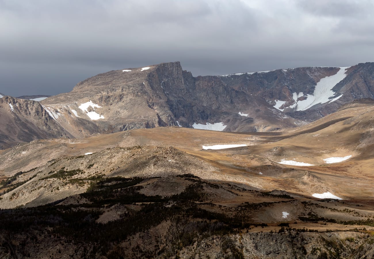 The soaring alpine switchbacks of the Beartooth Highway climbing above 10,900 feet
Bridging the Pacific Northwest with the northern Great Plains, this route combines US Route 2 with the legendary Beartooth Highway (US 212). It stands out in r/nationalparks discussions as North America's premier high-elevation alpine driving corridor.
The route traverses Montana via the legendary Going-to-the-Sun Road inside Glacier National Park, managed by the National Park Service. Continuing southeast past Red Lodge, the Beartooth Highway climbs above 10,900 feet, providing jaw-dropping panoramic views across glacial cirques and fragile alpine tundra.
Redditors emphasize that this corridor operates on a narrow seasonal window. Heavy winter snow keeps high passes shuttered until late June, with early autumn blizzards frequently returning by late September.
6. The Pacific Coast Highway and US 101: Pacific Northwest to California
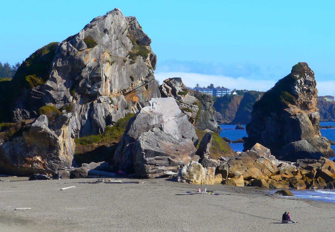 Dramatic offshore sea stacks at Harris Beach State Park along US Highway 101
Covering approximately 1,600 miles from Washington’s Olympic Peninsula down through Southern California, this route joins US Highway 101 with California’s coastal Highway 1. The journey delivers crashing surf, misty sea stacks, and primordial old-growth redwood groves.
Highlights include Cannon Beach, the dramatic sea cliffs of Samuel H. Boardman State Scenic Corridor in southern Oregon, and cruising beneath towering giant trees along the Avenue of the Giants. Further south, the road hugs cliffside ocean drop-offs around Monterey, Carmel, and San Luis Obispo.
The single most repeated recommendation on r/roadtrip is to drive strictly North to South. This orientation places your vehicle in the ocean lane, ensuring effortless pull-ins at scenic viewpoints and unobstructed passenger panoramas.
7. Blue Ridge Parkway and Skyline Drive: Appalachian Ridgelines
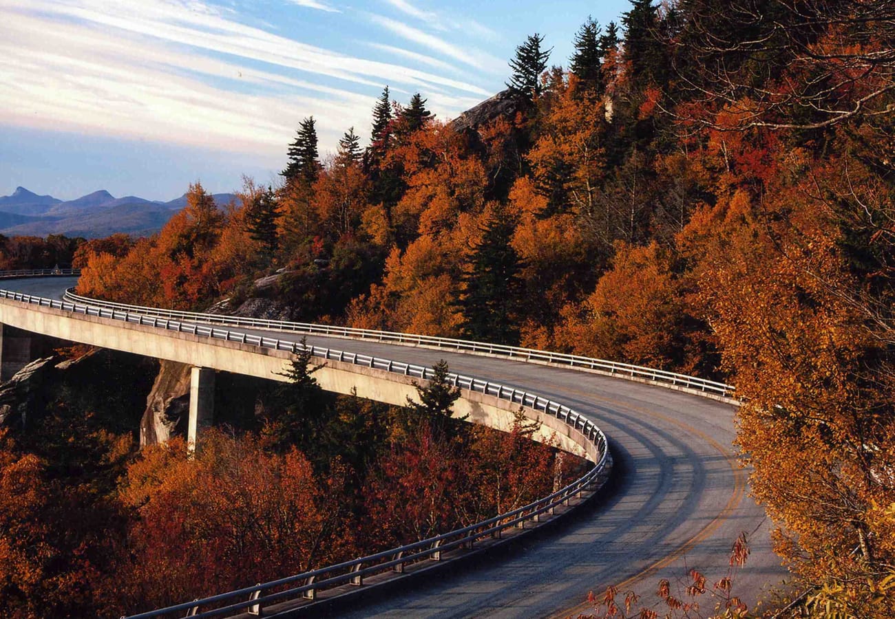 The concrete cantilevered curves of Linn Cove Viaduct surrounded by vibrant autumn Appalachian foliage
Spanning 574 continuous mountain miles from Front Royal, Virginia, down to Cherokee, North Carolina, this corridor connects Shenandoah National Park with the Blue Ridge Parkway. The roadway functions as a protected scenic preserve, entirely free of commercial billboards and traffic signals.
Motorists enjoy gentle curves past pioneer landmarks like Mabry Mill, gliding over the cantilevered engineering marvel of the Linn Cove Viaduct. Scenic spur roads lead to Mount Mitchell, the highest peak east of the Mississippi River.
Redditors praise the parkway's leisurely 45 mph speed limit, which invites unhurried exploration. Plan five to six days to hike trailhead spurs and discover mountain music hubs in Blowing Rock, Boone, and Asheville.
8. US Route 50: The Loneliest Road in America
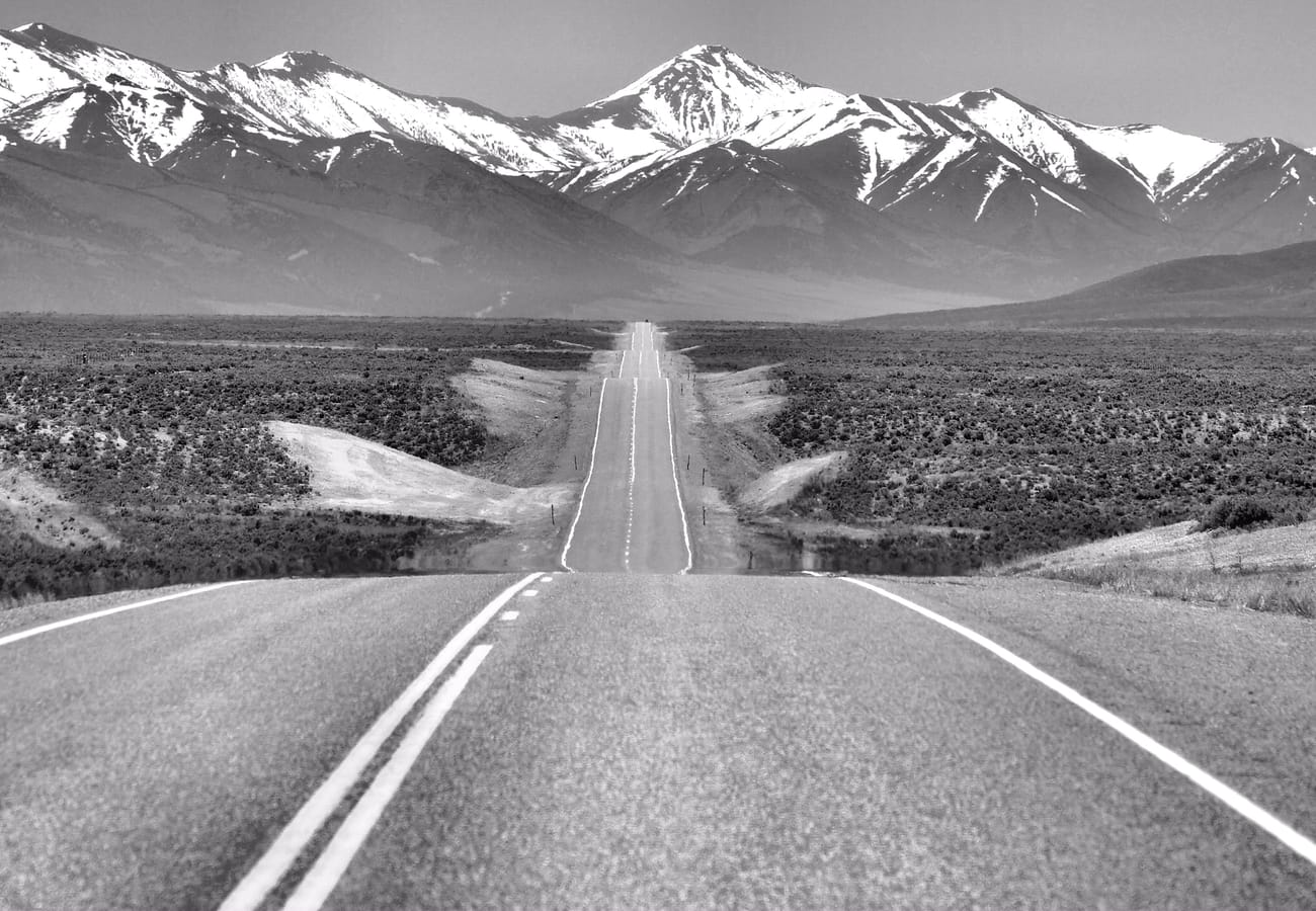 The endless horizon of US Route 50, 'The Loneliest Road in America,' traversing central Nevada
Stretching roughly 400 miles across Nevada’s central Great Basin between Fallon and Baker, US Route 50 earned its solitary moniker from a famous 1986 Life magazine article. Today, it draws road enthusiasts seeking tranquil isolation, dramatic basin-and-range topography, and dark starry night skies.
The roadway crests multiple 7,000-foot mountain passes separated by wide sagebrush valleys. Notable stops include historic 19th-century silver-mining outposts like Eureka and Ely, terminating at Great Basin National Park, home to ancient 4,000-year-old bristlecone pines and Lehman Caves.
Drivers on r/roadtrip repeat one golden rule: never pass an open fuel station without topping off your tank. Carry extra gallons of drinking water, a full-size spare tire, and printed maps across these vast desert expanses.
9. The Great River Road: Tracing the Mississippi on US Highway 61
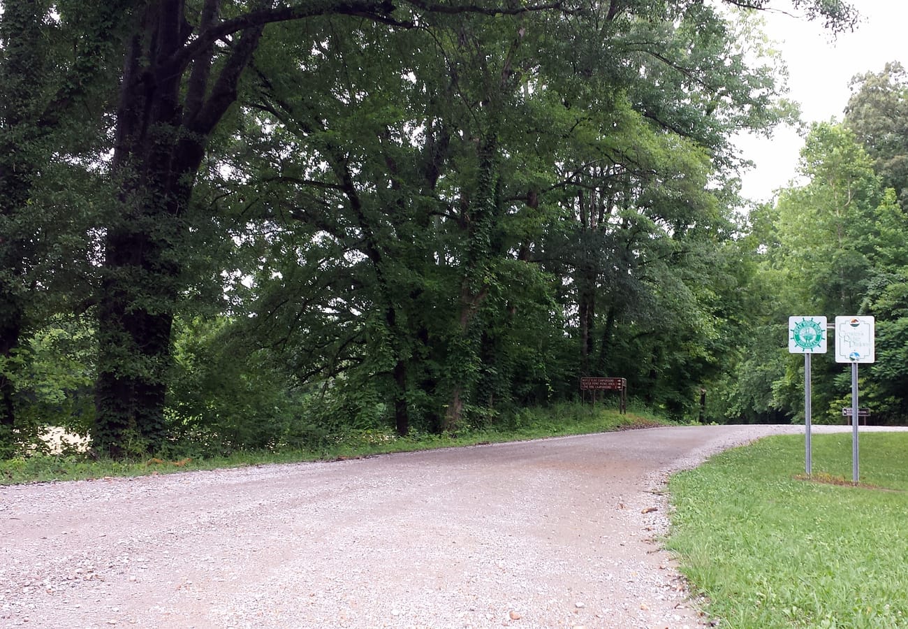 The Great River Road tracing the meandering waters and lush floodplains of the Mississippi River
Following the mighty Mississippi River for nearly 2,000 miles from its Minnesota headwaters at Lake Itasca down to the Gulf of Mexico in Louisiana, the Great River Road traverses ten distinct American states.
The northern stretch through Minnesota, Wisconsin, and Iowa features dramatic 500-foot limestone bluffs and charming river hamlets like Stockholm and Dubuque. Heading south, US Highway 61 cuts deep into the Mississippi Delta, world-renowned for its legendary blues juke joints, civil rights history, and Southern culinary heritage.
Reddit travelers recommend tackling this journey in regional chapters. The Upper Mississippi is particularly striking in October, when vivid autumn colors reflect across wide river channels.
10. The Overseas Highway: Island-Hopping South on US Route 1
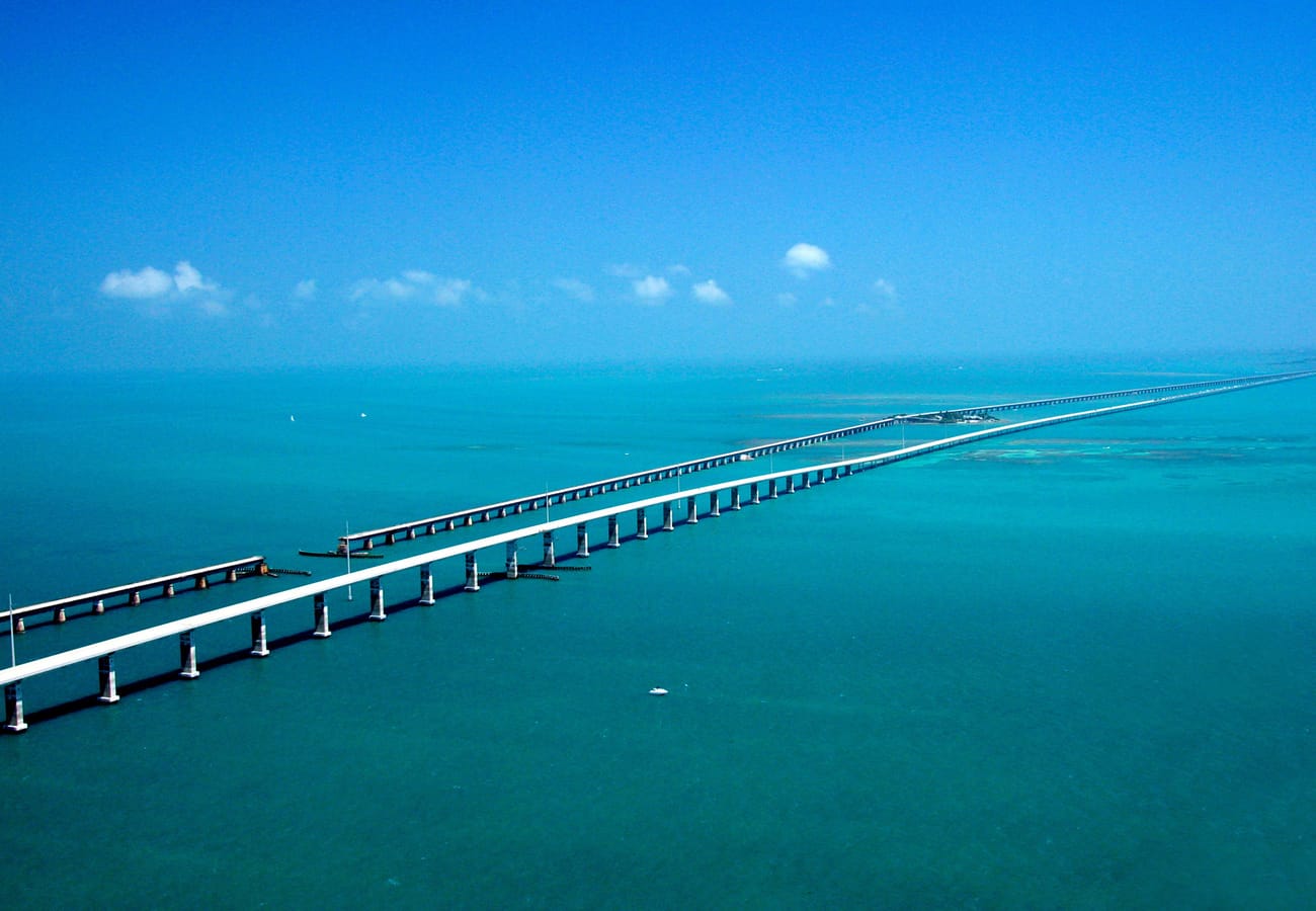 Aerial panorama of the iconic Seven Mile Bridge soaring across turquoise waters along the Overseas Highway
Extending 113 miles from the southern tip of the Florida mainland down to Key West, US Route 1 transforms into the world-famous Overseas Highway, linking dozens of tropical coral keys across 42 individual bridges.
Drivers cruise suspended above sparkling turquoise shallows, with the Atlantic Ocean to the east and the Gulf of Mexico to the west. Unmissable waypoints include the sportfishing marinas of Islamorada, snorkeling coral reefs at John Pennekamp State Park, Bahia Honda State Park's white sand beaches, and the historic Seven Mile Bridge.
Reddit contributors advise departing mainland Miami early on a Tuesday or Wednesday morning to escape weekend bottleneck traffic. Allow extra time to sample authentic Key lime pie, view nesting seabirds, and celebrate sunset at Mallory Square.
USA Long-Distance Road Trips: Route Comparison & Planning Guide
| Route Name | Mileage | Recommended Duration | Best Travel Window | Iconic Sights | Reddit Traveler Pro-Tip |
|---|---|---|---|---|---|
| US Route 395 | 550 miles | 3–4 days | May to October | Mt. Whitney, Alabama Hills, Mono Lake | Choose 395 over I-5; verify Tioga Pass snow openings before detouring. |
| US Route 20 | 3,365 miles | 14–21 days | July to September | Oregon Cascades, Yellowstone NP | Travel West-to-East to clear high Rocky Mountain passes easily. |
| Utah Scenic Byway 12 | 124 miles | 7–10 days (circuit) | April–May, Sept–Oct | The Hogback, Escalante slot canyons | Download offline GPS maps; zero cell service in backcountry canyons. |
| Historic Route 66 | 2,448 miles | 12–16 days | April–June, Sept–Oct | Cadillac Ranch, Oatman Pass, neon diners | Stick to original alignments rather than parallel I-40 frontage lanes. |
| The Northern Tier | 1,200 miles | 7–10 days | July to early Sept | Going-to-the-Sun Road, Beartooth Pass | High passes close by late Sept; pair with Chief Joseph Scenic Byway. |
| Pacific Coast Highway | 1,600 miles | 10–14 days | June to October | Cannon Beach, Redwoods, Big Sur cliffs | Always drive North to South to stay in the ocean-side lane. |
| Blue Ridge Parkway | 574 miles | 5–7 days | May to October | Linn Cove Viaduct, Mount Mitchell | Observe the 45 mph limit; budget time for spontaneous spur hikes. |
| US Route 50 | 400 miles | 3–4 days | May–June, Sept–Oct | Great Basin NP, Lehman Caves | Top off fuel at every open station; carry emergency drinking water. |
| The Great River Road | 2,000+ miles | 10–14 days | September to October | Upper Mississippi bluffs, Delta Blues trail | Visit northern bluffs in mid-October for peak foliage reflections. |
| The Overseas Highway | 113 miles | 2–3 days | November to April | Seven Mile Bridge, Bahia Honda State Park | Leave Miami at dawn on a weekday to avoid severe island traffic. |
Essential Reddit Wisdom for Cross-Country Road Tripping in 2026
Seasoned drivers on r/roadtrip agree that pacing makes or breaks an American road expedition. The community champions the 350-mile daily limit rule, which prevents driver fatigue and allows ample daylight for spontaneous trail walks, scenic photography, and local dining.
Vehicle preparation is equally essential. When venturing west of the 100th meridian, always pack an emergency roadside kit containing extra water, a portable 12V tire inflator, jumper cables, and downloaded offline navigation maps.
Advance booking remains critical for major national parks. Securing required vehicle timed-entry passes through Recreation.gov and the Federal Highway Administration months ahead guarantees seamless entry during peak summer and fall travel seasons.
Frequently Asked Questions About Long-Distance US Road Trips
What is the most scenic cross-country road trip route in the USA?
US Route 20 and the Northern Tier (combining US Route 2, I-90, and the Beartooth Highway) are widely recognized as the most scenic routes, passing through the Oregon Cascades, Yellowstone National Park, the Black Hills of South Dakota, and the Great Lakes.
How many miles should you realistically drive per day on a road trip?
Experienced road trippers on Reddit recommend capping daily driving at 300 to 350 miles (roughly 5 to 6 hours behind the wheel). This pacing prevents driver exhaustion and leaves plenty of daylight for hiking, scenic turnouts, and exploring small towns.
Which direction is best for driving the Pacific Coast Highway?
Always drive from North to South along the Pacific Coast Highway (US 101 / CA-1). Southbound travel keeps your vehicle on the ocean side of the road, giving passengers unobstructed coastal views and providing easier, safer pull-ins at roadside viewpoints.
Do I need a four-wheel-drive vehicle for these road trips?
Standard passenger sedans, hatchbacks, and crossovers comfortably handle all primary paved highways. High-clearance four-wheel-drive vehicles are only necessary if you plan to venture onto unpaved Bureau of Land Management (BLM) trails or rugged backcountry passes.
Related Travel Guides
- 10 Best USA Scenic Highway Road Trips Reddit Is Talking About in 2026
- 10 Best West Coast Road Trips From Seattle to Los Angeles Reddit Travelers Recommend in 2026
- 10 Best California Coast Road Trips Reddit Travelers Recommend in 2026
- 10 Best Pacific Coast Highway Stops Reddit Travelers Say You Should Not Miss in 2026


